SoMAS New Faculty
2018-2019
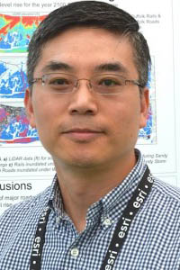
Sung Gheel Jang2018-2019
|
|
Sung Gheel Jang PhD, 2005, Regional Planning, University of Illinois at Urbana-Champaign Master of City Planning, 1996, Regional Planning, Seoul National University, Seoul, Korea BS, 1994, Landscape Architecture, Seoul National University, Seoul, Korea |
|
|
|
Sung-Gheel Jang is the director of Geospatial Center, and the faculty director of the Advanced Graduate Certificate of Geospatial Science and Minor in Geospatial Science (GSS). As a certified GIS Professional (GISP), Dr. Jang teaches both fundamental and applied topics in geospatial sciences/geographic information systems (GIS) including digital cartography, geospatial narratives, GIS design and application I & II, GIS database and design, GIS project management, and geospatial science for the coastal zone. All his courses offer extensive hands-on exercises, and deliver working knowledge and geospatial problem solving skills that students can apply in their future work. His research interests encompass sharing geospatial information, urban sustainability and public health, and geospatial and human dimension on sustainable development. During summer 2014, Dr. Jang collaborated with an interdisciplinary research team of SoMAS on looking into future climate risks in Long Island funded by New York State Resilience Institute for Storms and Emergencies (NYS RISE), and derived future coastal flood risk maps using GIS. Recently he is working on developing an online geospatial information portal for teaching and research. As part of this effort, Dr. Jang is currently working with faculty members in the Department of History to implement a FAHSS funded project, Mapping Long Island. Dr. Jang is also participating in a multi-year research project, Cultural Social Map of Latino Long Island (led by Dr. Adrian Melgosa), which will document geospatial narratives of the Latino community in Long Island. Before joining Stony Book, Dr. Jang taught at the Cleveland State University and served as program coordinator of a graduate certificate program in urban geographic information systems. He received his Ph.D. in Regional Planning from the University of Illinois at Urbana-Champaign, and both an MA in City Planning and a BS in Landscape Architecture from Seoul National University in South Korea. |
|||
2016-2017
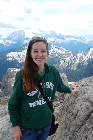
Donna Selch2016-2017
|
|
Donna Selch PhD, 2016, Florida Atlantic University |
|
|
|
With a background in marine biology, geography, and spatial analysis Dr. Selch has spent her career exploring the wonders our planet through remote sensing. Remote sensing is the science of collecting data from a distance including airplanes or satellites, in addition to other equipment that does not touch the subject being analyzed (ex: LiDAR or spectroradiometers). This remote accessibility is especially important in areas of cultural, economic, or physical sensitivity such as an archeological site or an unstable coastal zone. Donna Selch's research applies and integrates technology, geographic information systems (GIS), and remote sensing into environmental analysis for coastal mapping, data fusion, and model comparisons using a variety of software programs such as ArcGIS, ENVI, Erdas Imagine, eCognition, Fusion, and SPSS, and hardware including the use of unmanned aerial vehicles (UAVs). She has published and presented at conferences executing the applications of GIS and remote sensing technologies including: implementing object based image analysis (OBIA), building hyperspectral libraries, analyzing coastal sand reflectance, applying LiDAR data for archeological applications, relating climate change to sea turtle nesting, as well as for water quality modeling and benthic habitat mapping. |
|||


